Geomatics
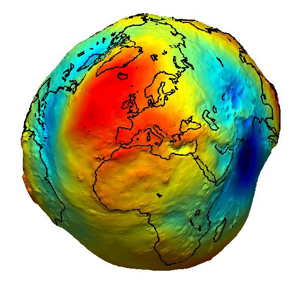 Geomatics is the science of georeferenced images and data processing and modeling. Throughout this course you will have an introduction to the basics of geomatics with the key topics that are cartography, geodetic, geodata acquisition and land numerical modeling. A large part of the course is devoted to practice with open source geographical information system (GIS) tools with application in air/water pollution, hydrology, landuse, etc.
1st semester - 24hr - Assessment methods: project.
On-line ressources: During this course we will use Matlab, Python, Arc-GIS and QGIS softwares.
ArcGIS ArcGIS is a geographic information system (GIS) software developed by Esri (Environmental Systems Research Institute), a leading provider of GIS technology.
A free trial version of Matlab is available for 30days. This is enough to practice a bit with the programming language and the different toolboxes. Try the demo/tutorials of the Mapping toolbox. With your registration to Centrale you will be able to benefit from the Campus license.
PythonGIS is a powerful library for GIS with Python.
QGIS is an open source Geographic Information System. Download and install it on your computer and try the exercises. You can also find tutorials easily.